Trekking Adventures Catalog
Browse every trail, compare difficulty and altitude, read the day-by-day itinerary — then pick the licence-verified guide you want to walk it with.
Filter by Himalayan Region:
Showing 9 of 34 adventures in this selection
Annapurna Base Camp Trek
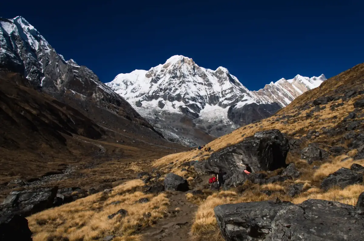
The Annapurna Base Camp Trek climbs from the foothills north of Pokhara into the Annapurna Sanctuary, a high glacial basin ringed by Annapurna I, Annapurna South, Hiunchuli and the fishtail summit of Machapuchare. The camp at about 4,130 m sits inside that amphitheatre, and sunrise on the surrounding peaks is the reason most people come. The lower trail passes Gurung villages such as Ghandruk and Chhomrong, terraced fields and stone staircases, then follows the Modi Khola gorge through bamboo and rhododendron forest. Above Deurali the valley narrows and the vegetation thins before opening into the Sanctuary at Machapuchare Base Camp. The route reaches a lower altitude than the Everest region and is shorter overall, which makes it a good first Himalayan trek for fit walkers. It is still hard work: the stone steps around Chhomrong are relentless, and the gorge above Bamboo can carry avalanche risk after heavy snow, so conditions need checking in winter and early spring. Nights are spent in teahouses along the whole route, and the return passes the natural hot springs at Jhinu Danda, a welcome stop for tired legs. A licence-verified guide you contact directly will know current trail conditions in the gorge and can plan the pace around how you are acclimatising.
📖 View Details & Itinerary📅 Duration: 7-12 Days
🏔️ Max Altitude: 4130m
📝 Permit: Standard Parks
Annapurna Circuit Trek
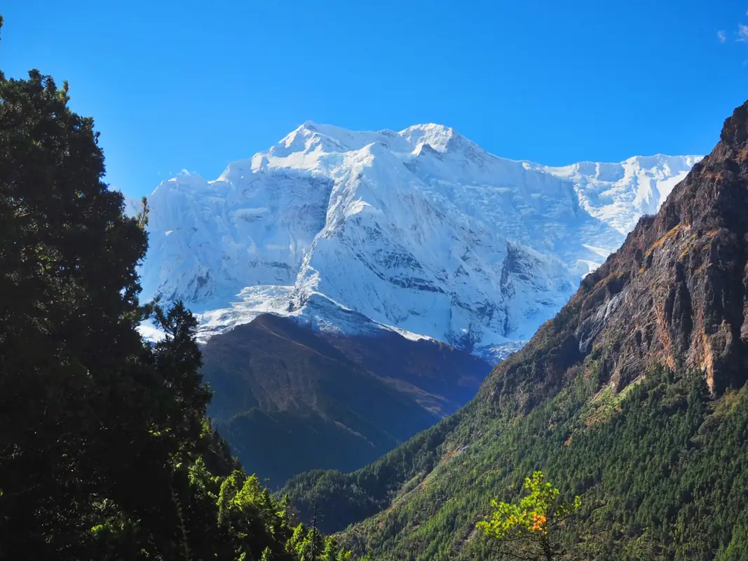
The Annapurna Circuit loops around the Annapurna massif, climbing the Marsyangdi valley on the east side, crossing the Thorong La pass at 5,416 m, and dropping into the Kali Gandaki valley on the west. Over two to three weeks the landscape changes from rice terraces and subtropical forest to pine and juniper, then to the dry, high plateau around Manang and Muktinath, which sits in the rain shadow of the Himalaya. The route passes through Gurung, Manangi and Thakali villages, Buddhist gompas and chortens, and the Hindu and Buddhist pilgrimage site of Muktinath. Teahouses are found in every village, so you sleep indoors and eat in lodge dining rooms along the whole route. Roads now reach far up both valleys, and most trekkers take a jeep for the lower sections and walk from around Dharapani or Chame. Quieter footpaths on the opposite bank of the river, such as the upper route via Ghyaru and Ngawal, avoid much of the traffic. The crossing day is long and starts before dawn, which is why an acclimatisation day in Manang matters. The trek suits fit walkers with some hiking experience who are comfortable with several days above 4,000 m. A licence-verified guide you contact directly can adjust the pace, choose the quieter trails and judge conditions on the pass.
📖 View Details & Itinerary📅 Duration: 14-21 Days
🏔️ Max Altitude: 5416m
📝 Permit: Standard Parks
Arun Valley Trek
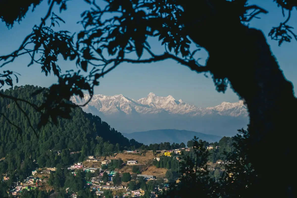
The Arun Valley Trek is a low-altitude traverse of eastern Nepal's middle hills, from the airstrip at Tumlingtar in the Arun valley to Lukla at the gateway to the Khumbu. Instead of heading north to Makalu, it turns west: through terraced farmland and paper-making villages, up to the forested Salpa Bhanjyang pass at about 3,350 m, and across a series of ridges and side valleys before joining the trail below Lukla. Most of the route stays between 1,000 and 3,000 m, so altitude is rarely the limiting factor. The effort comes from the terrain: long climbs and descents between river valleys, often on stone steps, with several passes around 3,000 m on the second half. Villages along the way are home to Rai and Sherpa communities, and much of the accommodation is in homestays and simple lodges rather than the busier teahouses of the Everest trails. It suits trekkers who want a quiet, cultural route with mountain views rather than a high-altitude goal, and those who want to walk into the Everest region instead of flying straight to Lukla. Because it ends at Lukla, it can be extended up to Namche Bazaar or Everest Base Camp. Licence-verified guides you contact directly can suggest how to pace it and whether to continue into the Khumbu.
📖 View Details & Itinerary📅 Duration: 10-14 Days
🏔️ Max Altitude: 3350m
📝 Permit: Standard Parks
Dolpo and Mustang Trek
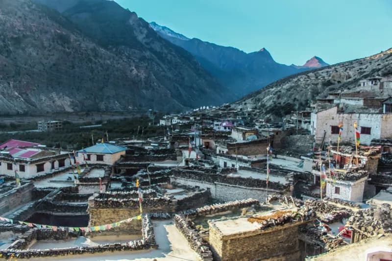
The Dolpo to Mustang traverse crosses the trans-Himalayan plateau from west to east, finishing in the Kali Gandaki valley at Jomsom. It begins like other Dolpo treks, flying to Juphal and walking up to Phoksundo Lake, then goes north over Kang La to Shey Gompa. From there, instead of looping back south, it heads east through Saldang and the high villages of Shimen and Tinje to Chharka Bhot, one of the most isolated settlements in Nepal, and crosses a chain of passes above 5,000 m via Sangda into Mustang. This is an expedition-style camping trek. For about two weeks there are no lodges: an agency supplies tents, food, a cook and pack animals, and much of the route is above 4,000 m. Several days involve long climbs, river crossings and few settlements, and the walk out over the Sangda passes is one of the hardest days. The reward is a continuous journey through a Tibetan cultural landscape that few people cross on foot: Bon and Buddhist gompas, barley fields, salt-trade trails and wide, wind-carved valleys. Road building in parts of Mustang is changing the last section, so some operators now exit over the Ghami La into Upper Mustang instead. It suits experienced trekkers who have done long camping routes at altitude and can set aside three weeks or more. Licence-verified guides you contact directly can tell you which exit they use and how they handle the permits for both regions.
📖 View Details & Itinerary📅 Duration: 18-22 Days
🏔️ Max Altitude: 5350m
📝 Permit: Restricted (≈ US$652 in permits)
Everest Base Camp Trek
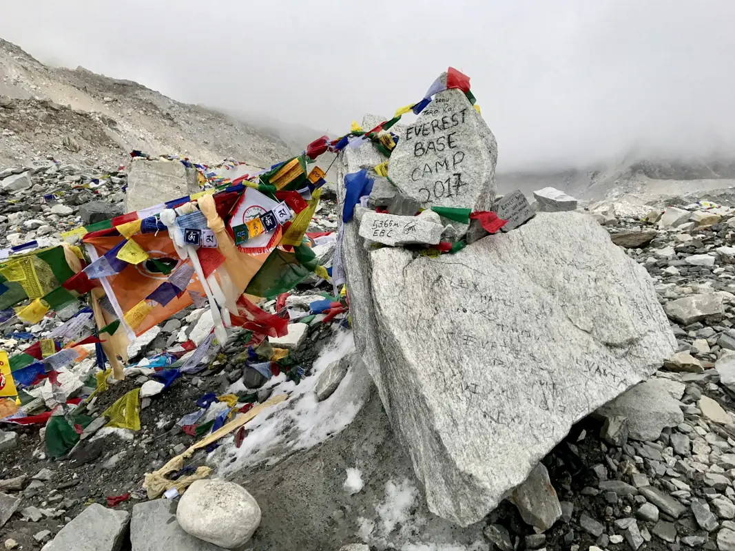
The Everest Base Camp Trek follows the Dudh Koshi valley from Lukla into the high Khumbu, climbing over roughly ten days to the foot of the Khumbu Icefall at about 5,364 m. Most people also climb Kala Patthar, a rocky viewpoint above Gorak Shep, for a closer look at Everest than base camp itself allows. The route passes through Sherpa villages, monasteries and suspension bridges strung with prayer flags. Namche Bazaar is the trading hub of the region, Tengboche has the area's best-known monastery, and above Dingboche the landscape opens into moraine and glacier with Ama Dablam, Lhotse and Nuptse close by. Days are rarely long in distance but the altitude sets the pace. The itinerary builds in two acclimatisation days, and most walking finishes by early afternoon, leaving time to rest and adjust. Nights are spent in teahouses: simple lodges with shared dining rooms heated by a stove, and rooms that get colder the higher you go. You don't need climbing experience, but you do need good fitness, a willingness to walk five to seven hours on consecutive days, and patience with flight delays at Lukla. A licence-verified guide you contact directly can adjust the pace to how your group is acclimatising and handle lodges and permits along the way.
📖 View Details & Itinerary📅 Duration: 12-14 Days
🏔️ Max Altitude: 5644m
📝 Permit: Standard Parks
Everest Three Passes Trek
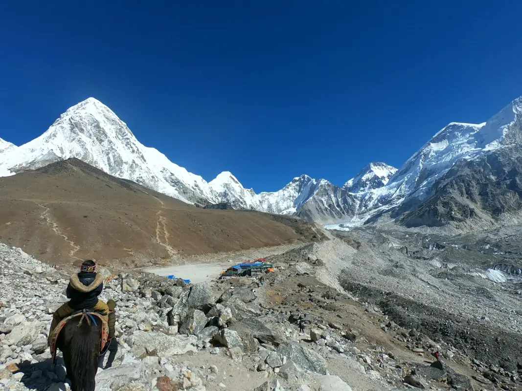
The Everest Three Passes Trek is a long loop through the Khumbu that crosses its three high trekking passes: Kongma La (about 5,535 m), Cho La (about 5,420 m) and Renjo La (about 5,360 m). Along the way it takes in Everest Base Camp, Kala Patthar, the Gokyo Lakes and the quiet Thame valley, so it covers almost every viewpoint the region is known for. Most groups walk it anticlockwise: up to Dingboche and Chhukung, over Kongma La to Lobuche, on to Gorak Shep for base camp and Kala Patthar, west over Cho La to Gokyo, then over Renjo La and down through Thame to Namche Bazaar. Each pass day is long, starts before dawn and can involve snow, ice and loose rock, and Cho La usually crosses a small glacier. This is a trek for people who already have multi-day hiking experience and are comfortable with long, cold days above 5,000 m. The route spends many nights high, so a gradual itinerary and well-placed acclimatisation days matter more than speed. Licence-verified guides you contact directly can advise on the direction to walk, current conditions on the passes and whether crampons or microspikes are needed.
📖 View Details & Itinerary📅 Duration: 18-22 Days
🏔️ Max Altitude: 5644m
📝 Permit: Standard Parks
Everest View Trek
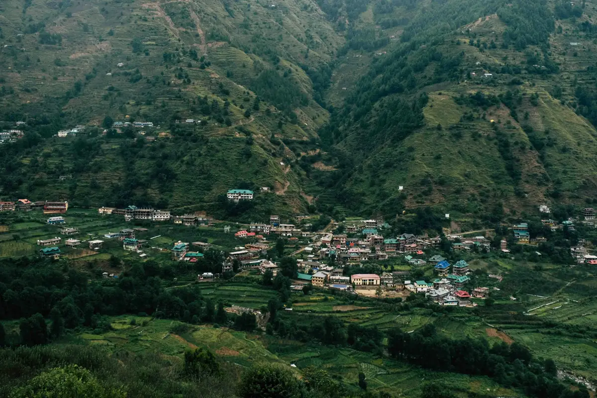
The Everest View Trek is the short way into the Khumbu. It follows the same trail as the base camp route from Lukla up the Dudh Koshi valley to Namche Bazaar, then climbs to the ridge above town at Syangboche, where the Hotel Everest View (about 3,880 m) looks up the valley to Everest, Lhotse and Ama Dablam. Most itineraries spend a night in Khumjung or Khunde before turning back down. Because it stays below 4,000 m, the altitude is manageable for most fit walkers, though the climb to Namche is steep and the first night there is often when people feel the height. Days are short, which leaves time to wander Namche's market, visit the monastery in Khumjung and the school Edmund Hillary helped found, and stop at teahouses along the way. It suits travellers with a week to spare, families with older children, and anyone who wants to see the Khumbu and its Sherpa villages without committing to two weeks at high altitude. The flight to Lukla is part of the experience and also its biggest variable: weather delays are common, so it is worth leaving a spare day at the end. Licence-verified guides you contact directly can tell you how they plan around flight delays and acclimatisation.
📖 View Details & Itinerary📅 Duration: 5-7 Days
🏔️ Max Altitude: 3880m
📝 Permit: Standard Parks
Ganesh Himal Trek
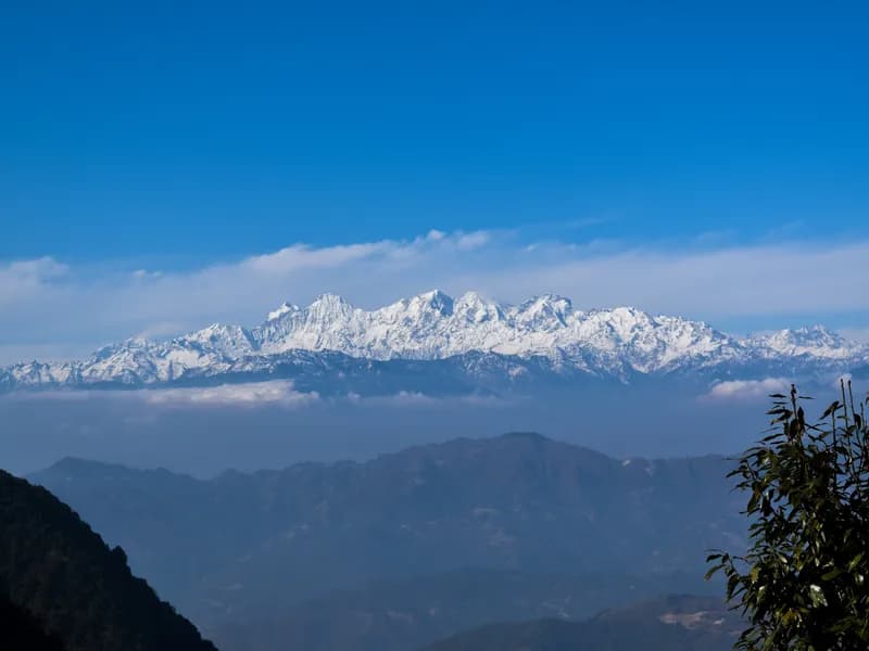
The Ganesh Himal trek, usually sold as the Ruby Valley trek, crosses the hills between the Langtang and Manaslu regions, west of Syabrubesi. It is a village trek more than a mountain trek: the route links Tamang and Gurung settlements such as Gatlang, Somdang, Tipling and Khading, with homestays and small lodges instead of the teahouse strings of better-known routes. The name comes from the semi-precious stones once mined in the hills near Somdang. The scenery is terraced farmland, forests of pine and rhododendron and high summer pastures, and the day over Pangsang La (about 3,842 m) gives the trek's widest mountain view: the Ganesh Himal massif close by, with Manaslu and Langtang on either side on clear mornings. Because the high point stays below 4,000 m, altitude is less of a concern than on the classic routes, but the days are long and the trail climbs and descends constantly between valleys. Facilities are simple, and some stretches see few other trekkers. It suits people who want a quieter route with a strong focus on village life, or who have already walked Langtang or Annapurna. Licence-verified guides you contact directly can arrange homestays and translate along the way, which matters more here than on busier trails.
📖 View Details & Itinerary📅 Duration: 8-12 Days
🏔️ Max Altitude: 3842m
📝 Permit: Standard Parks
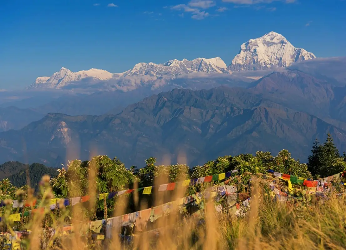
Ghorepani Poon Hill Trek
The Ghorepani Poon Hill trek is a short loop in the foothills west of Pokhara, climbing through Magar and Gurung villages and rhododendron forest to Poon Hill at 3,210 m. From the top, the sunrise view takes in Dhaulagiri, the Annapurna range, Machapuchare and many lesser peaks across the skyline. Most of the trek stays below 3,000 m, so altitude is rarely a concern, but the trail involves long stone staircases, especially the climb from Tikhedhunga to Ulleri. Days are moderate in length, and lodges are plentiful in every village, from Ulleri and Ghorepani on the ridge to Tadapani and the stone-built Gurung village of Ghandruk on the way down. It suits first-time trekkers, families with active children, and anyone short on time who wants a taste of Himalayan trekking without high altitude. In March and April the rhododendron forests flower in red and pink; in autumn and winter the skies are usually clearest for the mountain views. A licence-verified local guide you contact directly can arrange permits and transport from Pokhara, time the Poon Hill climb for the clearest sunrise, and explain the villages and culture along the way.
📖 View Details & Itinerary📅 Duration: 4-7 Days
🏔️ Max Altitude: 3210m
📝 Permit: Standard Parks