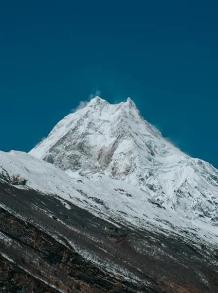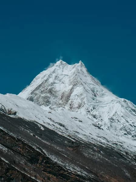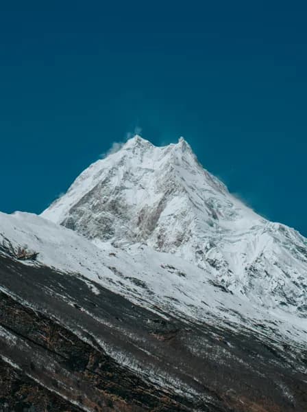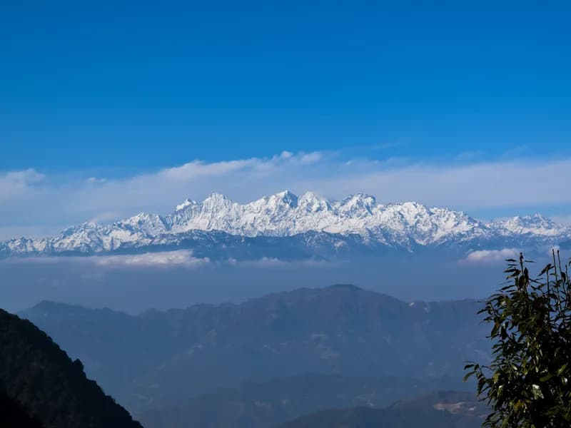
Manaslu region trekking scenery
πŸ”οΈ 4 Treks

Manaslu Region Treks

Manaslu region treks: the Manaslu Circuit over Larkya La, Tsum Valley and Ganesh Himal, with restricted-area permits, seasons and route choices.

πŸ₯Ύ
Treks
4
πŸ”οΈ
Max Altitude
5106m
πŸ“Š
Difficulty
Moderate to Hard
πŸ“…
Duration
8–18 days
πŸ“
Permits
Restricted area

Treks in Manaslu

Ganesh Himal Trek
Manaslu Regionmoderate

Ganesh Himal Trek

The Ganesh Himal trek, usually sold as the Ruby Valley trek, crosses the hills between the Langtang and Manaslu regions, west of Syabrubesi. It is a village trek more than a mountain trek: the route links Tamang and Gurung settlements such as Gatlang, Somdang, Tipling and Khading, with homestays and small lodges instead of the teahouse strings of better-known routes. The name comes from the semi-precious stones once mined in the hills near Somdang. The scenery is terraced farmland, forests of pine and rhododendron and high summer pastures, and the day over Pangsang La (about 3,842 m) gives the trek's widest mountain view: the Ganesh Himal massif close by, with Manaslu and Langtang on either side on clear mornings. Because the high point stays below 4,000 m, altitude is less of a concern than on the classic routes, but the days are long and the trail climbs and descends constantly between valleys. Facilities are simple, and some stretches see few other trekkers. It suits people who want a quieter route with a strong focus on village life, or who have already walked Langtang or Annapurna. Licence-verified guides you contact directly can arrange homestays and translate along the way, which matters more here than on busier trails.

πŸ“– View Details & Itinerary

πŸ“… Duration: 8-12 Days

πŸ”οΈ Max Altitude: 3842m

πŸ“ Permit: Standard Parks

Manaslu Circuit Trek
Manaslu Regionhard

Manaslu Circuit Trek

The Manaslu Circuit loops around Mount Manaslu (8,163 m), climbing the Budhi Gandaki gorge from the warm middle hills, crossing the Larkya La at roughly 5,100 m, and descending into the Marsyangdi valley on the far side. Because the upper valley is a restricted area, trekkers walk with a licensed guide and a permit, which keeps numbers well below those on the Annapurna and Everest routes. The first days follow a narrow river valley through terraced villages, suspension bridges and stretches of trail cut into the cliffside. Above Deng the culture shifts: mani walls, chortens and Tibetan Buddhist villages such as Lho, Samagaon and Samdo, where yak herding and barley fields replace rice terraces. Manaslu fills the skyline from Lho onwards. Days are typically five to seven hours of walking, with two rest days built in for acclimatisation before the pass. Pass day is the long one: an early start from Dharamsala (Larkya Phedi), a steady climb over moraine to prayer flags at the top, then a steep descent to Bimthang. The trek suits walkers with some multi-day hiking behind them who are comfortable with basic teahouses and cold nights at altitude. No technical climbing is involved, but snow on the pass can make conditions harder outside the main seasons. A licence-verified guide you contact directly can adjust the pace and acclimatisation days to your group.

πŸ“– View Details & Itinerary

πŸ“… Duration: 14-18 Days

πŸ”οΈ Max Altitude: 5106m

πŸ“ Permit: Restricted (β‰ˆ US$167 in permits)

Manaslu Circuit Trek with Tsum Valley
Manaslu Regionhard

Manaslu Circuit Trek with Tsum Valley

This route combines two restricted valleys north of Gorkha. It follows the Budhi Gandaki gorge from Machha Khola, turns east at Philim into the Tsum Valley, a Tibetan Buddhist enclave of stone villages and monasteries close to the Tibetan border, then returns to the main Manaslu trail to circle Mount Manaslu (8,163 m) and cross the Larkya La at about 5,106 m into the Marsyangdi valley. The Tsum section adds about a week: Chumling, Chhokangparo and Nile sit on broad terraces under the Ganesh Himal and Shringi ranges, and the trail ends at Mu Gompa near 3,700 m. Back on the circuit the culture of Nubri takes over, with long mani walls, Samagaon's wide valley and views of Manaslu's glaciers before the pass. Both valleys are restricted areas, so the trek is arranged through a registered agency with a licensed guide and two restricted permits. Lodges are simpler than on the Annapurna or Everest routes, especially in upper Tsum and at Dharamsala below the pass. It suits fit trekkers with three weeks to spare who want culture as much as mountains, and who are comfortable with long walking days and one big pass. Licence-verified guides you contact directly can tell you how they pace the Tsum detour and the Larkya La crossing.

πŸ“– View Details & Itinerary

πŸ“… Duration: 18-22 Days

πŸ”οΈ Max Altitude: 5106m

πŸ“ Permit: Restricted (β‰ˆ US$222 in permits)

Tsum Valley Trek
Manaslu Regionmoderate

Tsum Valley Trek

The Tsum Valley is a high side valley of the Budhi Gandaki in Gorkha district, close to the Tibetan border. Restricted to foreigners until 2008 and still a restricted area today, it has kept a strongly Tibetan Buddhist way of life: stone villages, long mani walls, chortens and monasteries, and a local tradition of not killing animals. The trek follows the Manaslu Circuit trail up the Budhi Gandaki gorge from Machha Khola, then turns east at Lokpa into the Tsum. Lower Tsum, around Chumling, is green and terraced, with views towards Ganesh Himal. Above Chhokangparo the valley opens out into wide, dry fields at over 3,000 m. The walk passes Milarepa's cave, linked to the eleventh-century Tibetan poet-saint, and Rachen Gompa nunnery, and reaches Mu Gompa at about 3,700 m near the head of the valley. Most itineraries return the same way down the gorge. It suits trekkers who want a culturally rich, quieter route without crossing a high pass. The highest point is modest by Himalayan standards, but the lower gorge involves long, hot days with plenty of climbing. Because it is a restricted area, the trek is arranged through a registered agency with a licensed guide; licence-verified guides you contact directly can explain how they handle the permits and the route.

πŸ“– View Details & Itinerary

πŸ“… Duration: 10-14 Days

πŸ”οΈ Max Altitude: 3700m

πŸ“ Permit: Restricted (β‰ˆ US$72 in permits)

Find a licensed guide who works in the Manaslu region and arrange your trek with them directly.

Trekking in the Manaslu region

The Manaslu region circles Manaslu (8,163 m), the world's eighth-highest mountain, in Gorkha district between the Annapurna and Ganesh Himal ranges. Most of it lies in the Manaslu Conservation Area, declared in 1998 and covering about 1,663 kmΒ². Because it borders Tibet, much of the region is restricted. The circuit was opened to organised groups only in the early 1990s, and the Tsum Valley in 2008, so the trails see far fewer trekkers than the Annapurna Circuit, which runs parallel a few valleys to the west.

The walk follows the Budhi Gandaki river from subtropical villages up into Nubri, where the culture becomes Tibetan Buddhist, with long mani walls, gompas and stone villages such as Samagaun under the east face of Manaslu.

The treks

  • Manaslu Circuit climbs the Budhi Gandaki to Samagaun and Samdo, crosses the Larkya La (about 5,106 m) and descends to Bimthang and the Marsyangdi valley, where it joins the Annapurna Circuit's road. Allow around two and a half weeks.
  • Tsum Valley branches off near Lokpa into a hidden valley of nunneries and monasteries such as Mu Gompa, close to the Tibetan border, without a high pass.
  • Manaslu Circuit with Tsum Valley combines both, for about three weeks in one of the quietest corners of central Nepal.
  • Ganesh Himal lies east of Manaslu, towards Langtang, around the villages of the Ruby Valley. The range's highest summit, Ganesh I, is about 7,422 m. It is lower and shorter than the circuit and is not a restricted area.

When to go

The Larkya La is crossed in spring and autumn. In winter, snow can make the pass dangerous or impassable; in the summer monsoon the lower valley is wet, with leeches and the risk of landslides. Tsum Valley, sheltered and with no high pass, is also recommended in September on its trek page.

Permits and guides

The Manaslu Circuit and Tsum Valley need a restricted-area permit from the Department of Immigration, priced in US dollars by the week and higher from September to November, plus the Manaslu Conservation Area permit. The circuit also crosses the Annapurna Conservation Area on the way out. Restricted permits are issued only through a registered agency, with a licensed guide walking with you. Since 22 March 2026 a single trekker can apply; before that the minimum was two. The current rates are on each trek page and in our Nepal trekking permits guide.

Manaslu Trekking FAQ

How many treks are in the Manaslu region?

xTrekka currently features 4 treks in the Manaslu region, ranging from 8–18 days in length and reaching up to 5,106 m.

How difficult are Manaslu treks?

Manaslu treks range across moderate to hard difficulty. Each trek page lists its difficulty grade, max altitude and daily itinerary so you can match a route to your experience.

Do I need special permits for Manaslu?

Only some. Manaslu Circuit Trek, Manaslu Circuit Trek with Tsum Valley and Tsum Valley Trek enter a restricted area and need a restricted-area permit through a registered agency with a licensed guide; the other Manaslu treks use standard park or conservation area permits. Each trek page shows its permit fees in rupees with an approximate dollar figure. See our guide to Nepal trekking permits for every fee and rule.

When is the best time to trek in Manaslu?

Most Manaslu treks are best in Mar–May, Oct–Nov. Outside those months, expect monsoon rain from June to September and cold, snow-prone passes in winter. Each trek page shows its own best months. Compare every route in our month-by-month guide to trekking in Nepal.

Plan your Manaslu trek