Tilicho Lake Trek at a glance
How the grades compare across routes: Nepal trek difficulty grades explained.
Overview
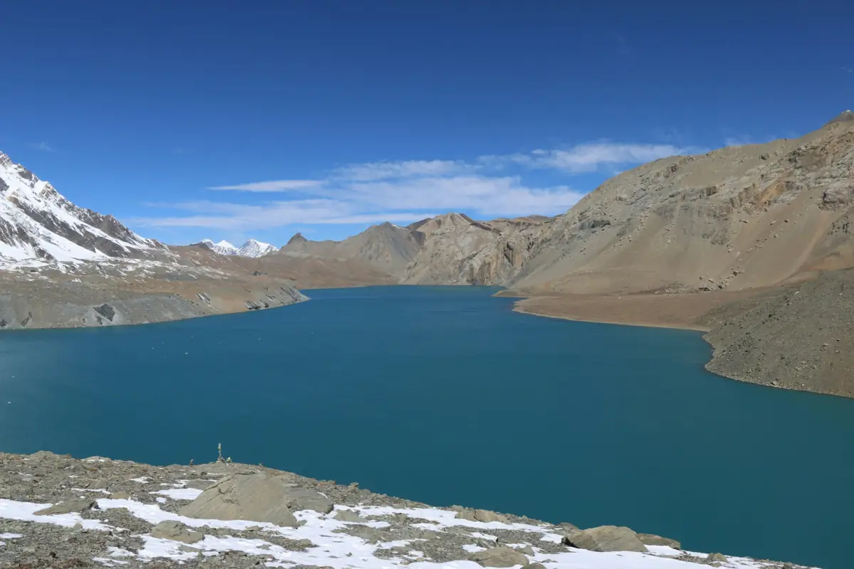
The Tilicho Lake Trek is a side route off the Annapurna Circuit. From Manang it leaves the main trail and follows a high, exposed path through Khangsar and Shree Kharka to Tilicho Base Camp, then climbs to Tilicho Lake at about 4,919 m, a large glacial lake beneath the north face of the Annapurna massif. After the lake the route rejoins the circuit at Yak Kharka and crosses the Thorong La (5,416 m) to Muktinath.
The approach follows the Marsyangdi valley, where roads now reach well up the lower sections, so most itineraries use jeeps for the first part and start walking higher up. The trail between Shree Kharka and base camp crosses steep scree slopes where rockfall is a real hazard, and is best walked early in the day. Lodges on the Tilicho detour are basic, and the lake day is long and cold.
It suits trekkers who have some high-altitude experience or are willing to follow a careful acclimatisation schedule, and who want a quieter, more remote variation on the circuit. Because it combines two big high points, the lake and the pass, it needs good fitness and some flexibility for weather. Licence-verified guides you contact directly can explain how they handle the rockfall section and the Thorong La crossing.
🌟 Trail Highlights
- Tilicho Lake beneath the Annapurna north face
- The Thorong La crossing at 5,416 m
- Medieval villages of Khangsar and upper Manang
- The scree traverse above the Marsyangdi
- Muktinath temple, sacred to Hindus and Buddhists
- Rain-shadow landscapes of the upper Manang valley
Tilicho Lake Trek itinerary
- Day 1
Kathmandu to Besisahar
Drive west along the Prithvi Highway and north up the Marsyangdi valley to Besisahar. The road is busy and the drive fills most of the day.
- Day 2
Jeep to Chame
Continue by jeep up the rough valley road through Dharapani to Chame, the headquarters of Manang district. The road is bumpy and can be slow after rain.
- Day 3
Chame to Upper Pisang
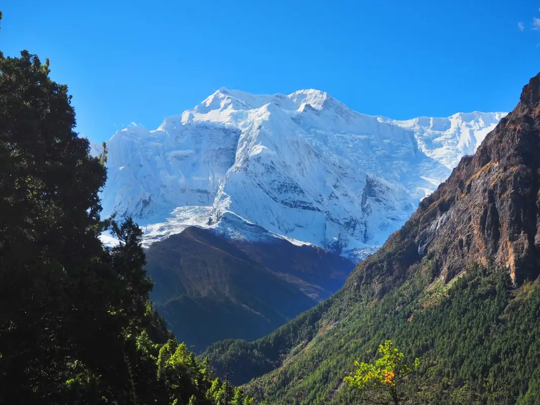
Start walking through pine forest beneath the curved rock face of Paungda Danda to Upper Pisang. The village sits above the valley with views of Annapurna II.
- Day 4
Upper Pisang to Manang via Ngawal
Take the high upper route through Ghyaru and Ngawal, which helps acclimatisation and has wide views of the Annapurna range. Descend to Manang for the night.
- Day 5
Acclimatisation day in Manang
Stay a second night in Manang and take a short hike to a higher viewpoint or the Gangapurna lake. Many trekkers attend the free altitude talk run by the Himalayan Rescue Association in season.
- Day 6
Manang to Shree Kharka
Leave the circuit and head west through Khangsar village to Shree Kharka. The trail is quiet and the lodges from here on are simpler.
- Day 7
Shree Kharka to Tilicho Base Camp
Cross the steep scree slopes above the gorge to Tilicho Base Camp. This is the rockfall-prone section, so set off early and move steadily without stopping beneath loose slopes.
- Day 8
Tilicho Lake and back to Shree Kharka
Start before dawn for the climb to Tilicho Lake at about 4,919 m, then return to base camp and continue to Shree Kharka. It is a long, cold day at high altitude.
- Day 9
Shree Kharka to Yak Kharka
Cross to the east side of the valley and rejoin the main circuit at Yak Kharka. The day gains little height and helps prepare for the pass.
- Day 10
Yak Kharka to Thorong Phedi
A short walk past Ledar to Thorong Phedi at the foot of the pass. Rest in the afternoon; some groups continue to High Camp if they are acclimatised.
- Day 11
Cross the Thorong La to Muktinath
Leave before dawn for the climb to the Thorong La at 5,416 m, then make the long, steep descent to Muktinath. It is the hardest day of the trek.
- Day 12
Muktinath to Jomsom
Visit the Muktinath temple in the morning, then descend through Jharkot and Kagbeni or drive the road to Jomsom in the Kali Gandaki valley.
- Day 13
Fly or drive Jomsom to Pokhara
Morning flight to Pokhara, or a long jeep and bus ride down the Kali Gandaki if flights are cancelled by wind.
This trek climbs above 3,000 m, where the pace of the climb matters. See our guide to altitude sickness on Nepal treks for how to prevent, spot and respond to it.
Best time to trek
The best months for the Tilicho Lake Trek are Mar–May, Oct–Nov.
- Jan
- Feb
- Mar
- Apr
- May
- Jun
- Jul
- Aug
- Sep
- Oct
- Nov
- Dec
How does it compare with other routes? See our month-by-month guide to trekking in Nepal.
Permits & costs
- Permit & park fees
- NPR 5,000 per person (≈ US$32)
- Guide day rates
- $25–$40 per day, set by the guides below
- ACAP, NPR 3,000 (about USD 19): the lake detour above Manang and the Thorong La crossing are both inside the Annapurna Conservation Area.
- TIMS card, NPR 2,000 (about USD 13): the Nepal Tourism Board lists the Mesokanto/Tilicho Pass route and the Annapurna Circuit among those that need a licensed guide, so the card is issued by your guide's agency.
- Checks along the way: expect to show permits at Chame and Manang on the approach; there is no office at Shree Kharka or Tilicho Base Camp, so carry them up with you. After the pass, the Muktinath area has another check.
- Confirm current rates with your agency before you pay.
Every fee and rule, trek by trek: our guide to Nepal trekking permits. Which routes need a licensed guide: do you need a guide to trek in Nepal? What a day rate covers, tips and flights: how much a trekking guide costs in Nepal.
Getting there & back
You enter from the Marsyangdi side: a 6–8 hour bus or jeep from Kathmandu to Besisahar, then shared jeeps up the valley road towards Chame or Manang, which shortens the walk-in to the lake. Leaving from Jomsom, a 20-minute morning flight to Pokhara is quickest but often grounded by wind; the fallback is most of a day by jeep and bus down the Kali Gandaki.
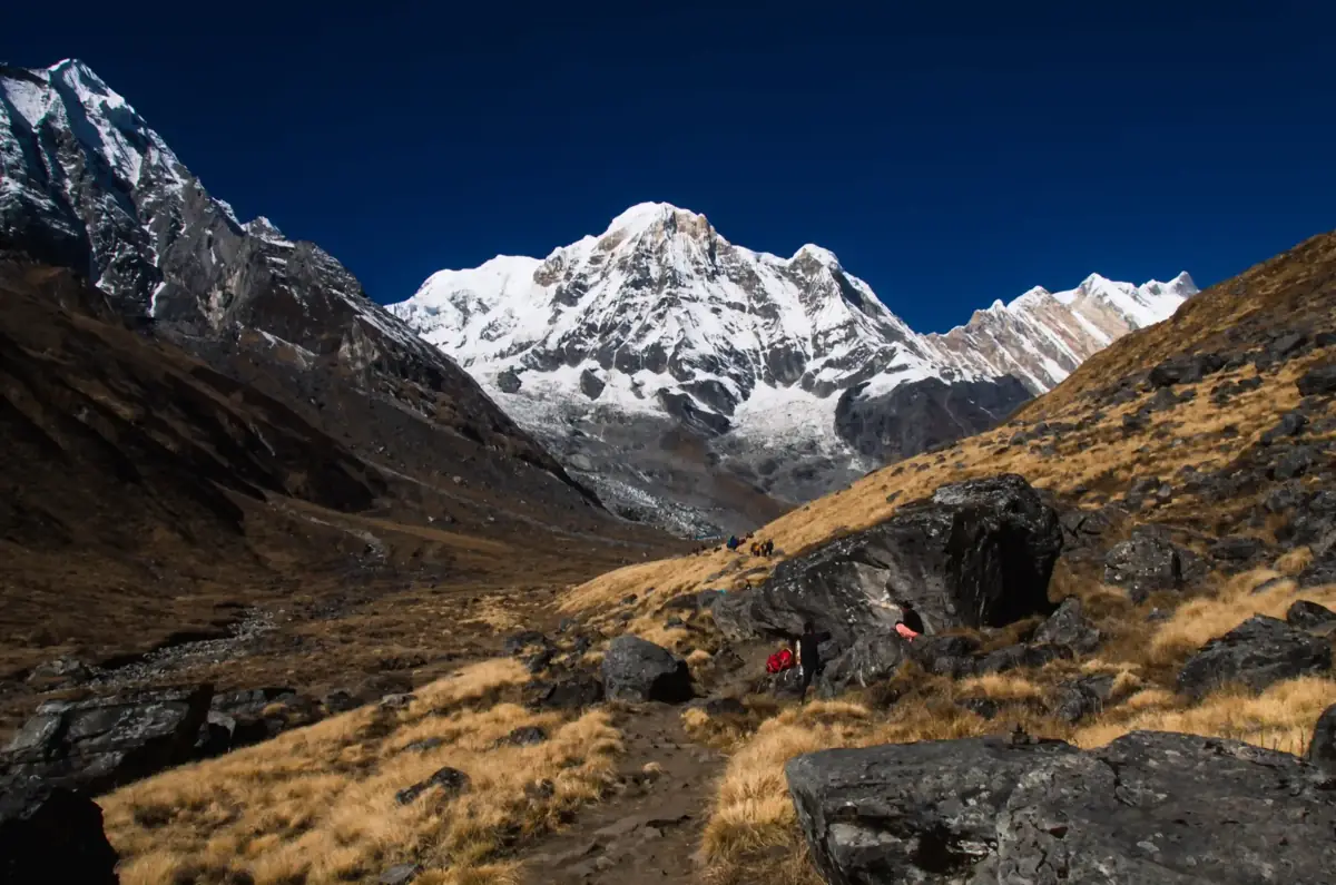
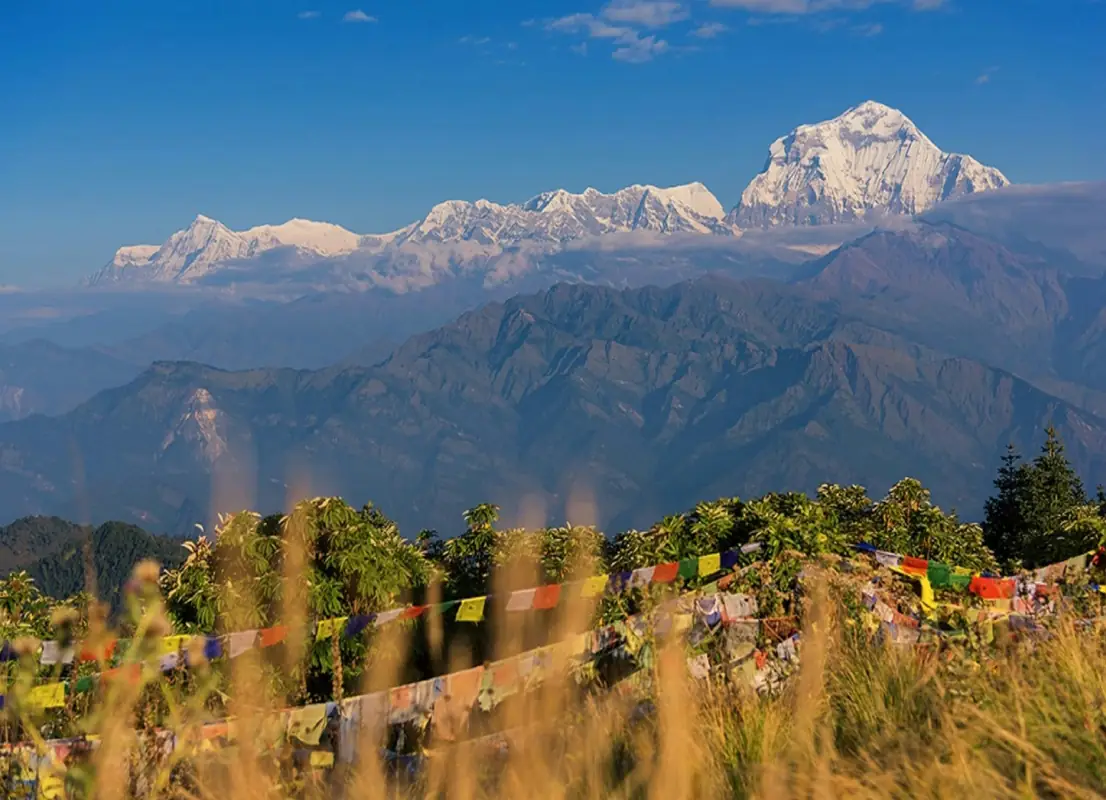
📸 Trail Checkpoints & Scenery Gallery

Tilicho Lake Trek FAQs
How difficult is the Tilicho Lake Trek?
It is harder than the standard Annapurna Circuit. The lake day and the Thorong La day are both long and high, and the scree traverse to base camp needs care. You should be fit and comfortable on rough, exposed trails.
Is the trail to Tilicho Base Camp dangerous?
The section between Shree Kharka and base camp crosses steep scree where rockfall happens. Walk it early in the day, keep moving through exposed stretches and follow your guide's timing. In poor conditions guides may delay or skip it.
How do I avoid altitude sickness?
The itinerary includes an acclimatisation day in Manang and climbs gradually before the lake. Drink plenty, ascend slowly and tell your guide about headaches, nausea or breathlessness. If symptoms worsen, descend.
Do I need a guide?
Yes. Tilicho is in the Annapurna Conservation Area, where a licensed guide has been compulsory for foreign trekkers since April 2023, and the route is on the Nepal Tourism Board's guide-required list. On this trek the guide's timing matters most on the scree traverse to base camp, which should be crossed early before rockfall picks up.
Can I do Tilicho Lake without crossing the Thorong La?
Yes. Some trekkers return from the lake to Manang and go back down the Marsyangdi valley. In that case the highest point is the lake itself, about 4,919 m, and the trek is a few days shorter.
What is accommodation like?
Teahouses on the circuit are comfortable by trekking standards. On the Tilicho detour, at Shree Kharka and base camp, lodges are simple, with shared rooms, limited menus and cold nights.
When is the best time to go?
Late September to November and March to May. In winter, snow can close both the trail up to the lake and the Thorong La, so in late autumn and early spring ask in Manang about conditions before heading for Shree Kharka. Monsoon months bring cloud and landslides on the lower road.
Guides who lead the Tilicho Lake Trek
Every one of them is licence-verified by our compliance team. Open a profile to read about them, then send your dates — they reply to you directly with their own price.